
The IGN maps 1/250000 : Aspet 1947 OT and Aulus-les-bains 2048 OT
Click here to browse on the map
For more detailed steps, a pdf file can be downloaded at the bottom of the page.
Day 1: Anglade’s Parking – Araing Refuge
↑ 720 m, ↓ 540 m Time: 3h30
This stage crosses the Har Peak’s pastures and passes a 1530 m col, to get to the refuge of the Araing pond (Etang d’Araing).
- Parking Anglade 815m, 0h.
- Hamlet Fréchendech 815m, 20mn.
- Footbridge « Illa Maria » 920m, 45mn.
- Footbridge (des Piches) 1105m, 1h25.
- Illaou Hut 1485m, 2h25.
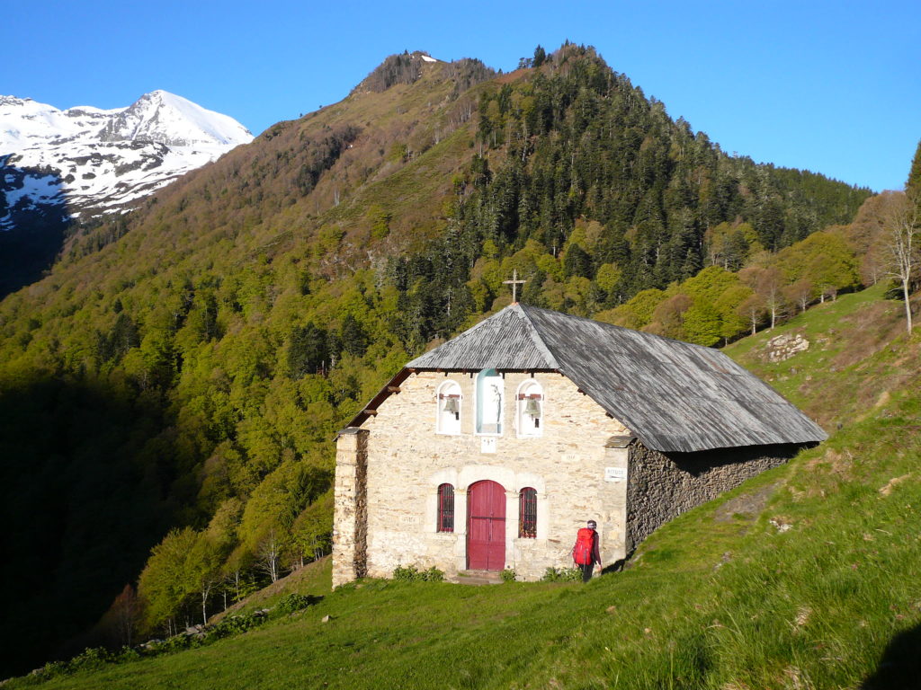
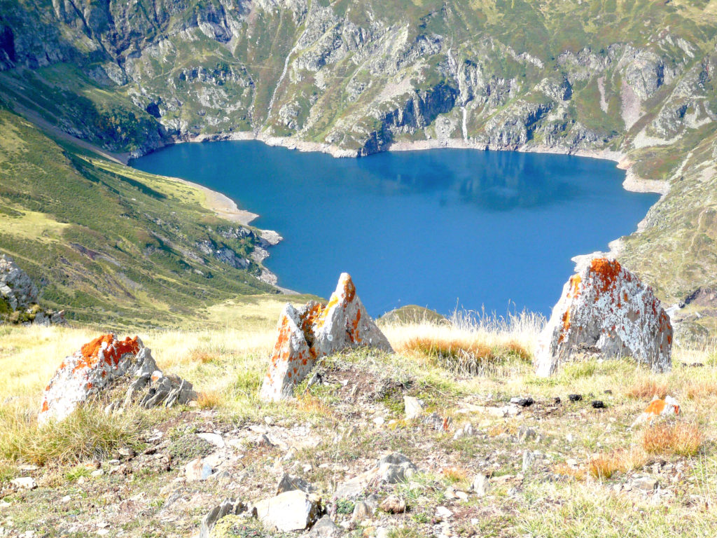
- Dam of the Araing pond 1911m, 3h20.
- Refuge CAF, 3h30.
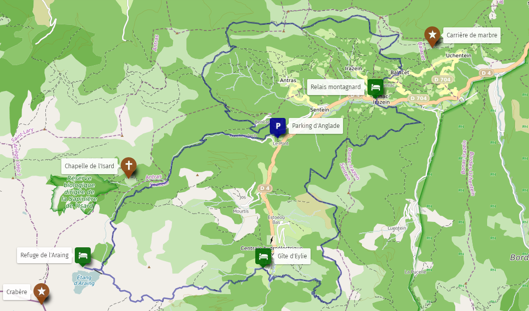
*A variant is possible by the Isard Chapel (+30min).
**Once at the Araing pond, you can climb up the Crabère peak (+3h round trip).
Day 2: Araing Refuge – Gîte of Eylie
↑ 300 m, ↓ 1230 m Time: 3h 20
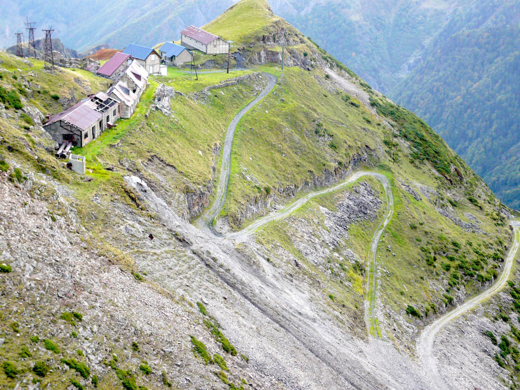
This altitude stage crosses a pass at 2221 m. Historical moment in the descent when you discover the Bentaillou mines.
- Start from the CAF refuge 1965m, 0 h.
- Col of Serre d’Araing 2221m, 1h.
- Mines of Bentaillou 1900m, 1 h 40 (spring).
- Plateau de Rouge 1650m, 2 h 15.
- Gîte of Eylie 990m, 3 h 20.
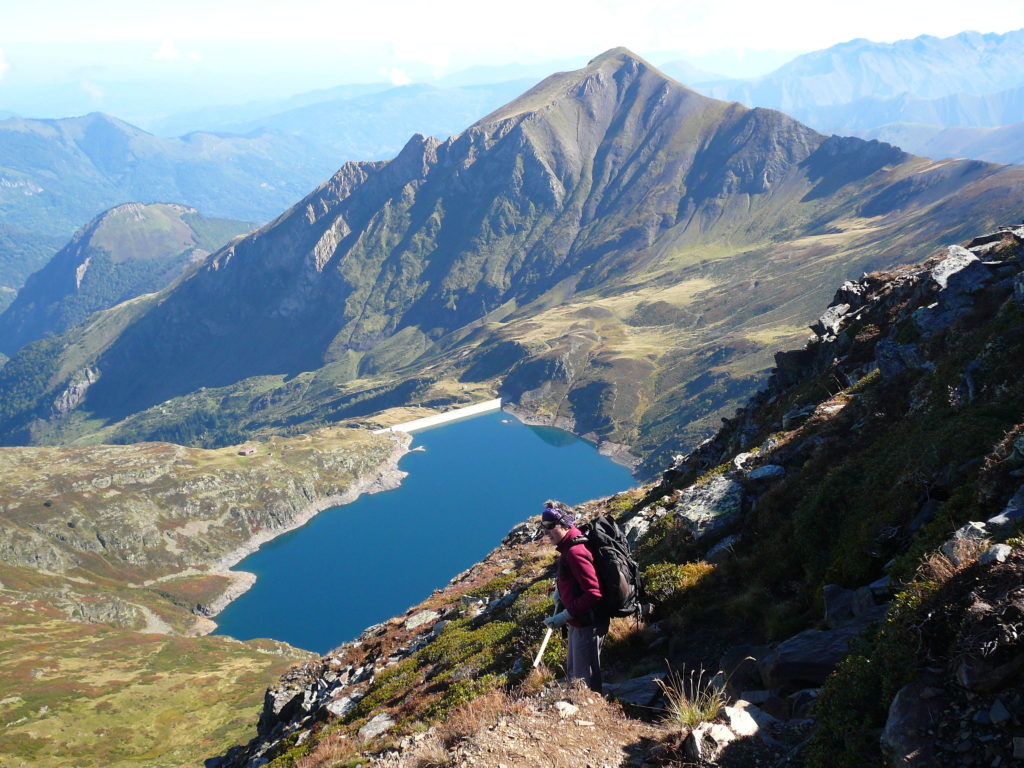
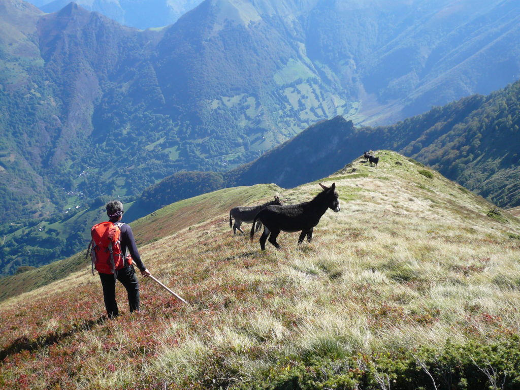
*Hike to Har Peak possible (1h roundtrip), off-trail. Rather easy climb through the ridge.
Day 3 : Gîte of Eylie – Relais Montagnard (Bonac)
↑ 740 m, ↓ 950 m Time: 5 h
This stage gives a crossing through a stunning guards path.
- Start from gîte of Eylie 990 m, 0 h.
- Entrance at Laspé woods 1250 m, 1 h.
- Herdsman stone shelter 1660 m, 2 h 10.
- Forest path 1400 m, 3 h 40.
- Arraing hut 1129 m, 4 h 20.
- Relais Montagnard (Bonac) 706 m, 5h.

-
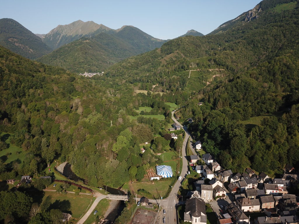
- Bonac-sur-Lèz
Day 4: Relais Montagnard (Bonac) – Anglade’s Parking
↑ 900 m, ↓ 790 m Time: 6 h 15
In this stage you discover the beautiful frame around the Biros with views of the last accomplished days.
- Start from Relais Montagnard 706 m, 0 h.
- Balacet wash house 909 m, 45 min.
- Arraing col’s hut 1350 m, 1 h 50 min (spring).
- Morères col 1550 m, 3 h 15.
- Laroque mail 1397 m, 3 h 45 (monumentale door).
- Croix col 1270 m, 4 h.
- Hérédech col 1289 m, 4 h 45.
- Blazy col 1309 m, 5 h 10.
- Hamlet of Playras 1100 m, 5 h 35.
- Hamlet of Fréchendech 810 m, 6 h.
- Anglade’s parking 815 m, 6 h 15.
*Variant possible through the marble quarry, starting from Balacet (+45min).
Download the detailed steps here.
GPX files to download:
Day 1, Day 2, Day 3, Day 4


